
Willmar Neighbors by Block Source
A block-level search should ask what is adjacent to a parcel and which public geography applies there. Kandiyohi GIS can show parcel geometry, lot and block context, and boundary layers. The Recorder’s parcel-document link can provide a lead to a recorded document, while a plat can explain the subdivision layout. Tax or mailing fields are dated associations, not proof that someone lives at the parcel. Community directories are useful for public contacts and events, but they are not household rosters.
| Block source | What it can show | Willmar access |
|---|---|---|
| GIS parcel map | Touching parcels, parcel IDs, lot, block, plat, and geometry | Kandiyohi GIS, pan and click public layers |
| GIS boundaries | City limit, township or city, school and voter districts, zoning, flood, and public-land context | Toggle one layer at a time and retain the legend and date |
| Plat search | Subdivision name, folder or plat image, and underlying plats | County Plat Search or the GIS Plat layer |
| Recorder documents | Recorded transaction or plat leads connected to a parcel | Parcel popup, then Tapestry login or payment for document images |
| Sanborn and directories | Historical structures, dated street setting, businesses, and household clues | MNHS, KCHS, library, and newspaper routes |
| Civic listings | Public organizations, events, and community contacts | Vision 2040 and Chamber public listings, not membership rosters |
For each result, state the role precisely. A parcel identifies land, a deed identifies a recorded party and transaction, and a historical directory places a listing at an address at a certain time. None creates a current roster of Willmar neighbors.
Willmar Neighbors Start With Parcels
Kandiyohi GIS accepts Parcel Number, Address, Plat Name, and Section searches. Begin with a public address or one you are entitled to research, then record the exact house number, directional, street suffix, parcel ID, plat, lot and block, legal-location fields, and the map’s update date. Parcel lines were updated March 24, 2026, house addresses April 27, 2026, tax data July 15, 2026, and the GIS system in May 2026 according to the county. Those dates make the viewer a current operational source, not a historical snapshot.
The map can show the parcels that touch the starting parcel. It does not document a buffer or select-by-distance tool, and no such feature was confirmed in the research. Use ordinary pan and click review rather than claiming a radius search exists. Keep a readable map scale and do not turn field-level context into a published list of private names and addresses.
Map a Willmar Neighbor Block
The safe parcel workflow is geographic first. It answers what lies next to a parcel, not who is socially connected to an address. Use a document search only after the parcel, plat, or transaction question is defined. The county notes that a GIS parcel popup may contain a recorded-documents link, but that list is not a complete search of every document affecting a parcel. Document images route to Tapestry, where login or payment can apply.
- Search the starting address in Kandiyohi GIS and write down the parcel ID, plat, lot, block, and visible boundary layers.
- Pan to each touching parcel and record parcel geography rather than copying a private-name roster.
- Turn on city-limit, township, school, voter-district, and ZIP layers one at a time, saving the legend and update date.
- For a narrow title or plat question, follow the parcel-document lead and confirm the legal description through the Recorder’s defined search routes.
- Use the Willmar Streets reference only when the question expands from an immediate block to the full address record chain.
A mailing or tax field is a dated tax-system clue. It may differ from the physical parcel address, a recorded grantee, or a current occupant. Preserve that distinction in every note.
Willmar Neighbor Boundary Layers
Adjacent parcels can be separated by more than a lot line. GIS layers include city limits, township or city labels, school and voter districts, plats, zoning, FEMA flood zones, roads, public land survey context, drainage, and aerial imagery. A physical block can cross a municipal, district, township, or ZIP boundary. That is why an address with a Willmar mailing name should still be checked against the city-limit layer and county or township fields.
Use layers as geographic context. A voter district is not a voter roster, and a school-district boundary does not establish enrollment. A ZIP field is likewise a parcel attribute or postal reference, not a current delivery map. These limits keep a Willmar neighbor search factual.
Note: When boundary sources conflict, keep the postal and municipal labels separate and ask the responsible agency before changing either one.
Willmar Neighbor Plat Context
Plats explain the layout behind a block. Kandiyohi County says partial plat-name searches may work. With the Plat layer on, clicking a platted area can show an abbreviated name and a popup with the full plat name and folder number. The View Plat control opens the map or image, and underlying plats can be toggled. This is a useful way to compare lot and block labels with the current parcel map without guessing where an older legal description belongs.
Current parcel identifiers do not always match older legal descriptions. Follow the plat name and number, lot and block, split note, government lot, or section-township-range elements when a deed uses older wording. The county’s recorded-documents popup is only a convenience lead. For a complete defined question, use the Recorder’s party-name, legal-description, and date-search routes, then obtain the relevant image or copy.
Willmar Neighbors in Historic Maps
Historical block work needs a date. Minnesota Historical Society material identifies Willmar Sanborn sheets for 1893, 1899, 1909, 1914, 1925, and 1931, plus a later 1931 to 1946 entry that should be checked in the source PDF. Sanborn maps can show building footprints, streets, institutions, and business context for their sheet date. They do not state who lives at an address now and should not be overlaid on a current parcel map as if the boundary were unchanged.
For an older neighborhood question, pair a map sheet with a city directory, newspaper issue, or Recorder legal description from the same period. Willmar’s newspaper titles changed over time, so a historical search should not rely on the Tribune name alone. The historical source can explain a block’s setting without producing a modern neighbor roster.
Willmar Neighbor Civic Connections
No official source reviewed identified a named Willmar neighborhood-association directory, a public HOA roster, or an authoritative block-watch list. That is a real research limit. The available public sources are community-discovery channels, not evidence that a particular household belongs to an organization. Vision 2040 describes neighborhood-night-out events, community gardens, cross-cultural collaboration, downtown events, and volunteer opportunities. The Chamber directory supplies current public contacts for community and nonprofit organizations.
| Public organization channel | What it is useful for | What it does not show |
|---|---|---|
| Vision 2040 | Community engagement, projects, stakeholders, and volunteer paths | Block membership or household affiliation |
| Willmar Area Chamber | Public civic and nonprofit organization contacts | A resident or neighborhood-association roster |
| KCHS and Heritage Searchers | Historical and genealogy inquiry, printed records, and township context | A current neighbor list |
| City of Willmar | Public meetings, boards, planning, and municipal decisions | A verified neighborhood-association inventory |
The Chamber’s public organization directory is a current contact source for civic and nonprofit groups.
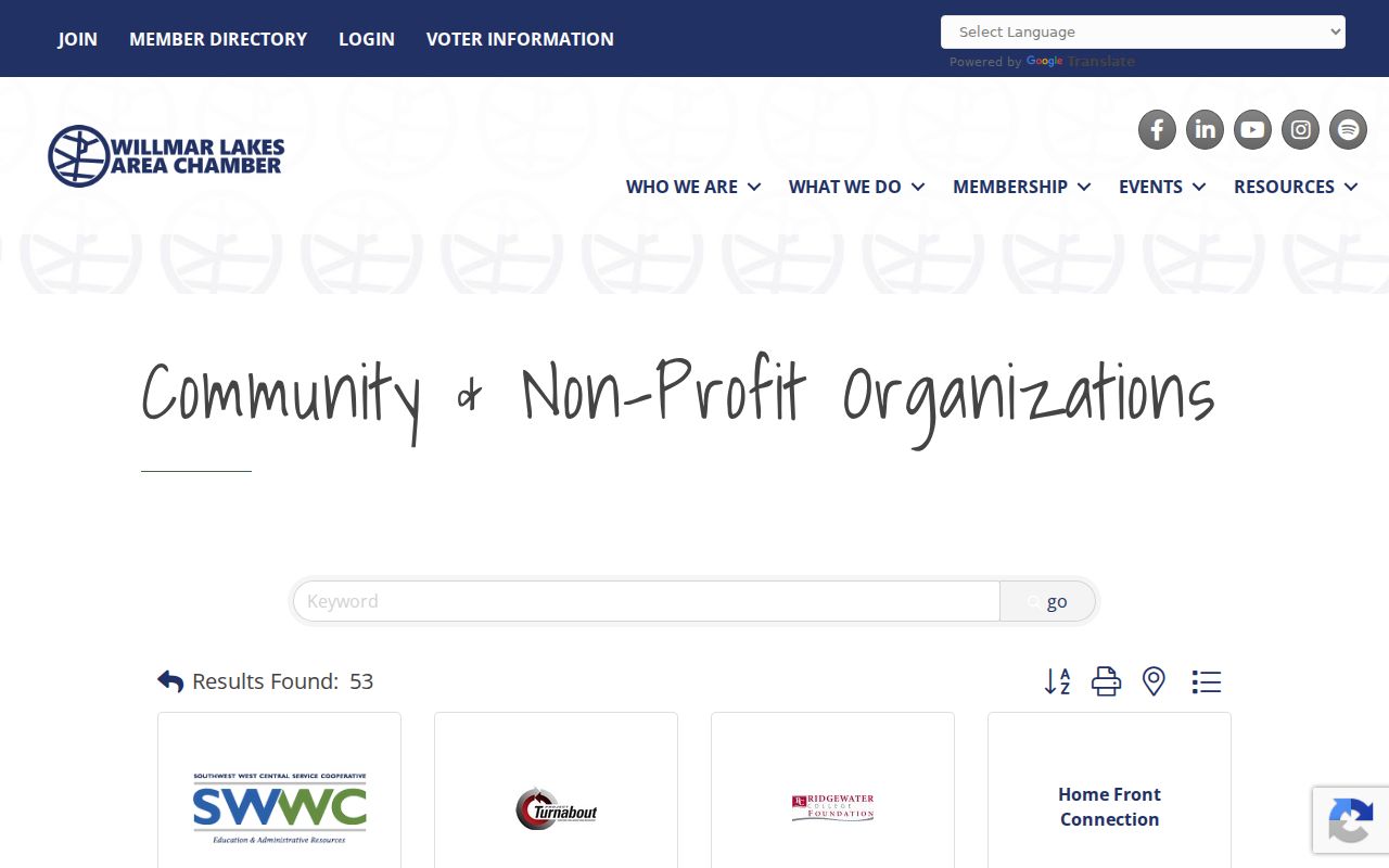
Directory entries can change, so use them as a current organization lead rather than a historical fact or a private membership record.
Vision 2040’s public involvement page documents local engagement channels around Willmar.
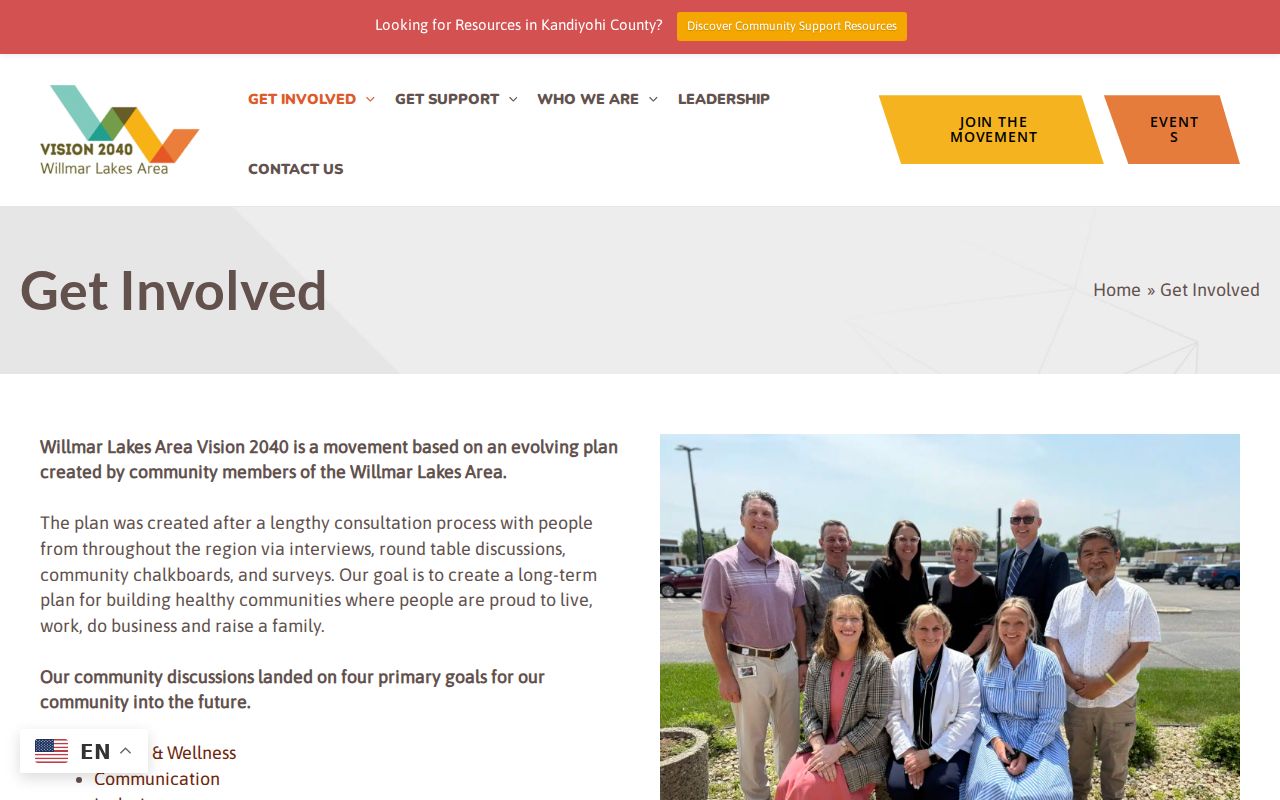
These public activities add community context without identifying households or suggesting that a person participates in them.
Willmar Neighbor Source Comparison
Official maps and records are best for a specific, narrow question. Commercial neighbor tools can combine material from unknown dates and sources, which makes it hard to tell whether a label refers to an owner, mailing recipient, former occupant, or someone unrelated to the parcel. A local record trail should preserve the custodian, date, and role instead of replacing them with a broad profile.
| Source type | Useful for | Key limit |
|---|---|---|
| Official GIS and Recorder routes | Parcel geography and defined recorded-document questions | They do not prove current occupancy or social relationships. |
| Historical maps and directories | Dated block setting and past address clues | They are time-bound and may have incomplete coverage. |
| Commercial neighbor tools | Potential leads that need independent verification | Dates, sources, and roles may be unclear or wrong. |
Willmar Neighbor Lookup Limits
Minnesota public-access law does not remove confidentiality protections. Safe at Home participants use a designated PO Box as their legal address under Minn. Stat. §5B.03, and their actual address is protected. Voter information is also limited by Minn. Stat. §201.091. MNVotes is a supplied-information registration check, not a block-browsing tool. Delivery, utility, and similar personal records are not a substitute for parcel research and should not be pursued to fill an absent address.
Use the Minnesota Government Data Practices Act, Minn. Stat. §13.03, to request a defined public record from the correct custodian when needed. Ask for the document type, date range, parcel, or address and accept that a response can be a public copy, inspection, redacted material, or no responsive public record. An empty field is not permission to infer protected information.
Lawful use. Use Willmar neighbor research for personal, lawful geographic or historical questions. Never use parcels, records, or contacts to stalk, harass, intimidate, or harm another person.